Drone Imagery
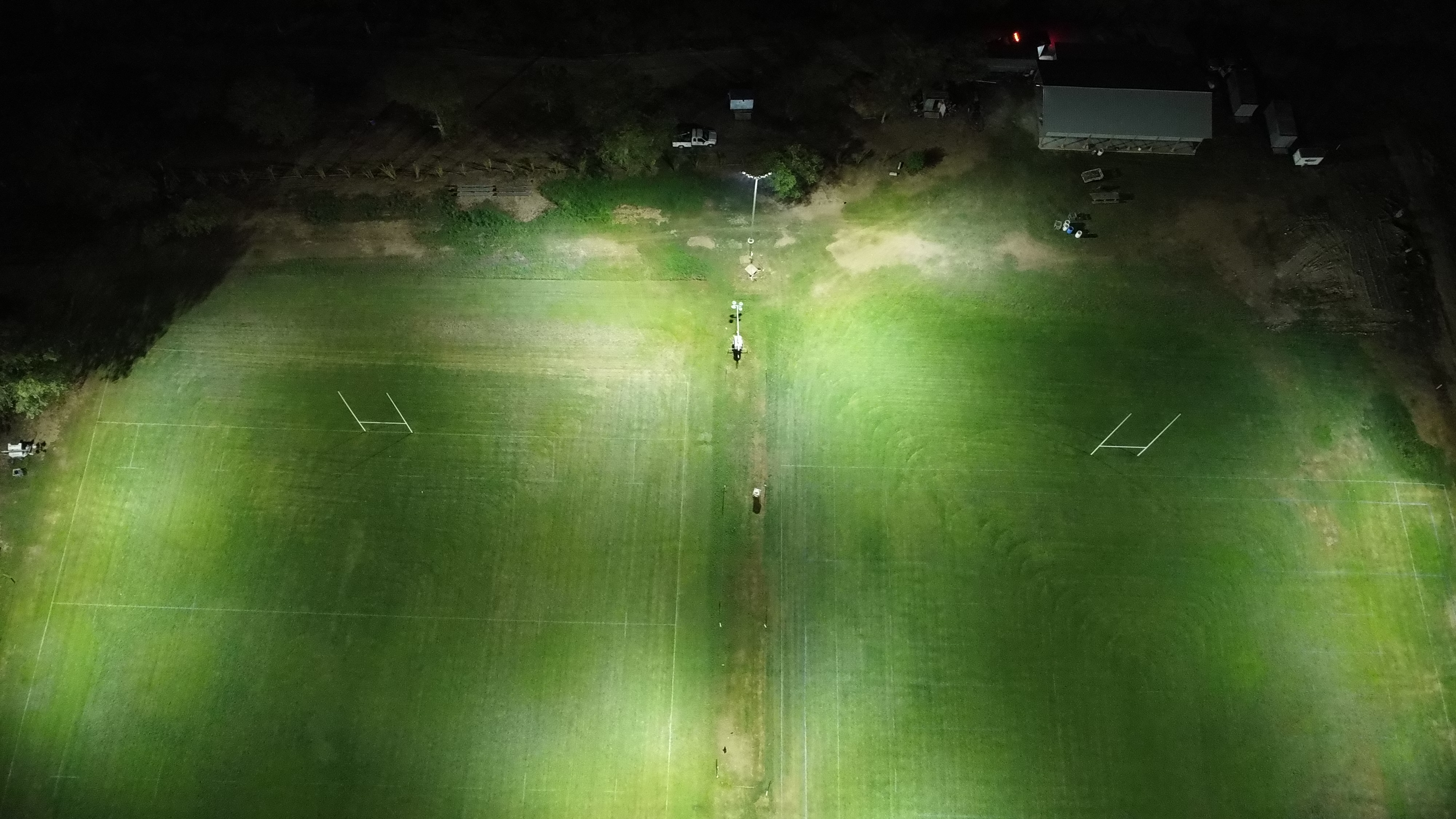
Big properties are hard to plan from the ground. A tree line can hide a washed-out fence, a low spot that floods every spring, or the perfect building site you never knew you had. We fly aerial drone surveys to give you a full picture of your land — literally — before we cut a single tree or move a single yard of dirt.
Better Decisions, Less Guesswork, More Enjoyment
Drone imagery increases your property’s value by giving you (and future buyers) clear documentation of boundaries, terrain, and improvements — the kind of visual proof that speeds up appraisals and sales. It makes ongoing maintenance easier too: spotting erosion, storm damage, or fence line issues from the air is a lot faster than walking every acre. And it’s simply satisfying to see your whole property laid out at once, especially land too large or rugged to take in from the ground.
How a Drone Survey Works
- Define the goal — Planning survey, progress documentation, or marketing photos/video.
- Flight planning — We map flight paths to cover the full property or the specific area you need.
- Aerial capture — Drone flies the property capturing high-resolution photo and video.
- Review & deliver — Footage reviewed and delivered in the format you need — stills, video, or annotated overview.
- Follow-up flights — Available for before-and-after documentation as a project progresses.
What We Handle
- Full-property aerial surveys for planning and documentation
- Before-and-after imagery of clearing or construction projects
- Drainage and erosion assessment from the air
- Marketing photos and video for property listings
- Progress tracking on multi-day or multi-phase projects
Send us a message and let us know what you’d like to see — we’ll fly it and show you your land from a whole new angle.
